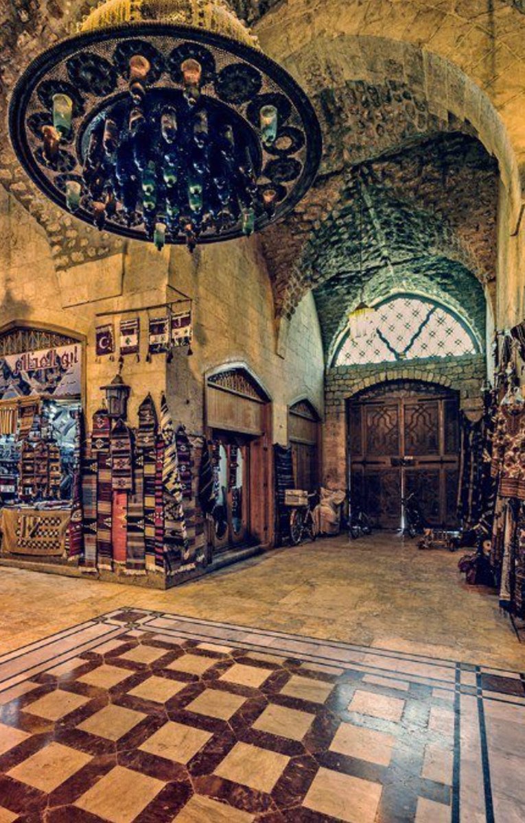
Khan al-Shuna is Acre’s historic grain khan, renewed under Daher al-Omar during the city’s eighteenth-century revival. Its Arabic name, خان الشونة, refers to…
Khan al-Shuna is Acre’s historic grain khan, renewed under Daher al-Omar during the city’s eighteenth-century revival. Its Arabic name, خان الشونة, refers to its use for storing grain and accommodating the merchants who traded it through Acre’s port. The khan stands in the walled Old City of Acre, about 30 metres northeast of Khan al-Umdan. Large sections, especially at ground level, date from the Crusader period, when Acre was a major Mediterranean port. The later khan incorporated these earlier structures into the Ottoman city built above them. The renewal of Acre under Daher al-Omar An Arabic inscription at the entrance records repairs made during the rule of Daher al-Omar, who established Acre as his principal centre in the mid-eighteenth century. He strengthened the city’s defences and developed its commercial life, restoring Acre’s position in the maritime trade of Palestine and the eastern Mediterranean. Khans formed part of the infrastructure of that trade. They provided storage for merchandise and space for merchants working between the harbour, markets and inland caravan routes. Khan al-Shuna’s association with grain places it within the movement of agricultural produce from the Galilee and the Palestinian interior through Acre. The building later also became a residential quarter within the living fabric of the Old City. Together with Acre’s markets, mosques, baths, fortifications and other khans, it belongs to the Ottoman cityscape constructed across the earlier medieval town.