Ayn Diwar Bridge, locally known as the Zengid Bridge, is a historic masonry arch structure composed of black basalt stone and plaster. Originally built in…
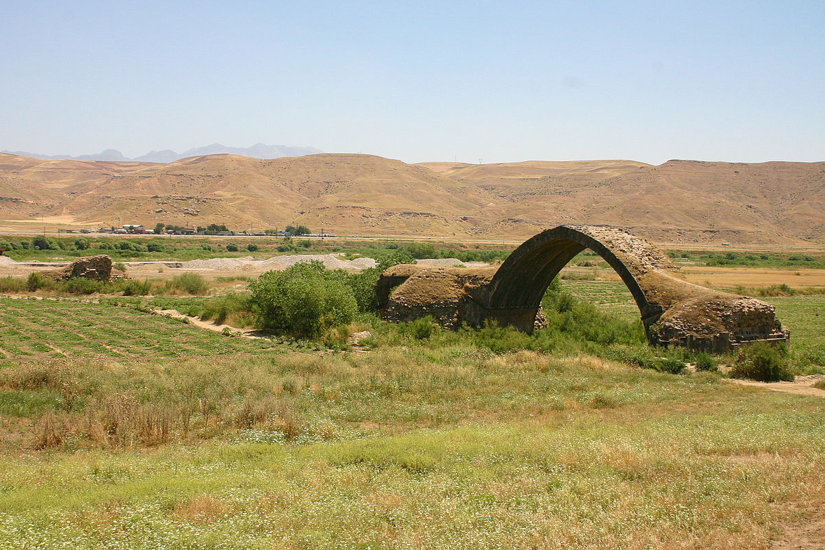
Ayn Diwar Bridge, locally known as the Zengid Bridge, is a historic masonry arch structure composed of black basalt stone and plaster. Originally built in 1146–1163 CE under the authority of Jamal al‑Din Isfahani, a minister of the Zengid ruler of Mosul, the bridge replaced prior Roman infrastructure in the region and served as a key crossing on the Silk Road. Only one semicircular arch remains intact—originally the bridge consisted of three spans—rising impressively above the marshy floodplain that once carried the Tigris River, which has since shifted its course roughly 500 metres away from the structure. The design blends Roman engineering traditions with Islamic decorative techniques, featuring astrological reliefs, zodiac motifs, and cavalry figures carved into the stone—an ornamentation more typically associated with Zengid-era Islamic artistry. Historically, the bridge was an essential passage on the Silk Road, enabling caravan trade between Anatolia and Mesopotamia. Its strategic location near the borders of modern Syria, Turkey, and Iraq underscored its importance for regional travel and commerce. Today, only the surviving single arch stands as a poignant testament to its layered past. The bridge remains vulnerable—erosion, changing water flow, and its proximity to modern border zones pose threats to its integrity. Some reports warn of cavitation under the surviving arch pillar, raising concerns about future collapse