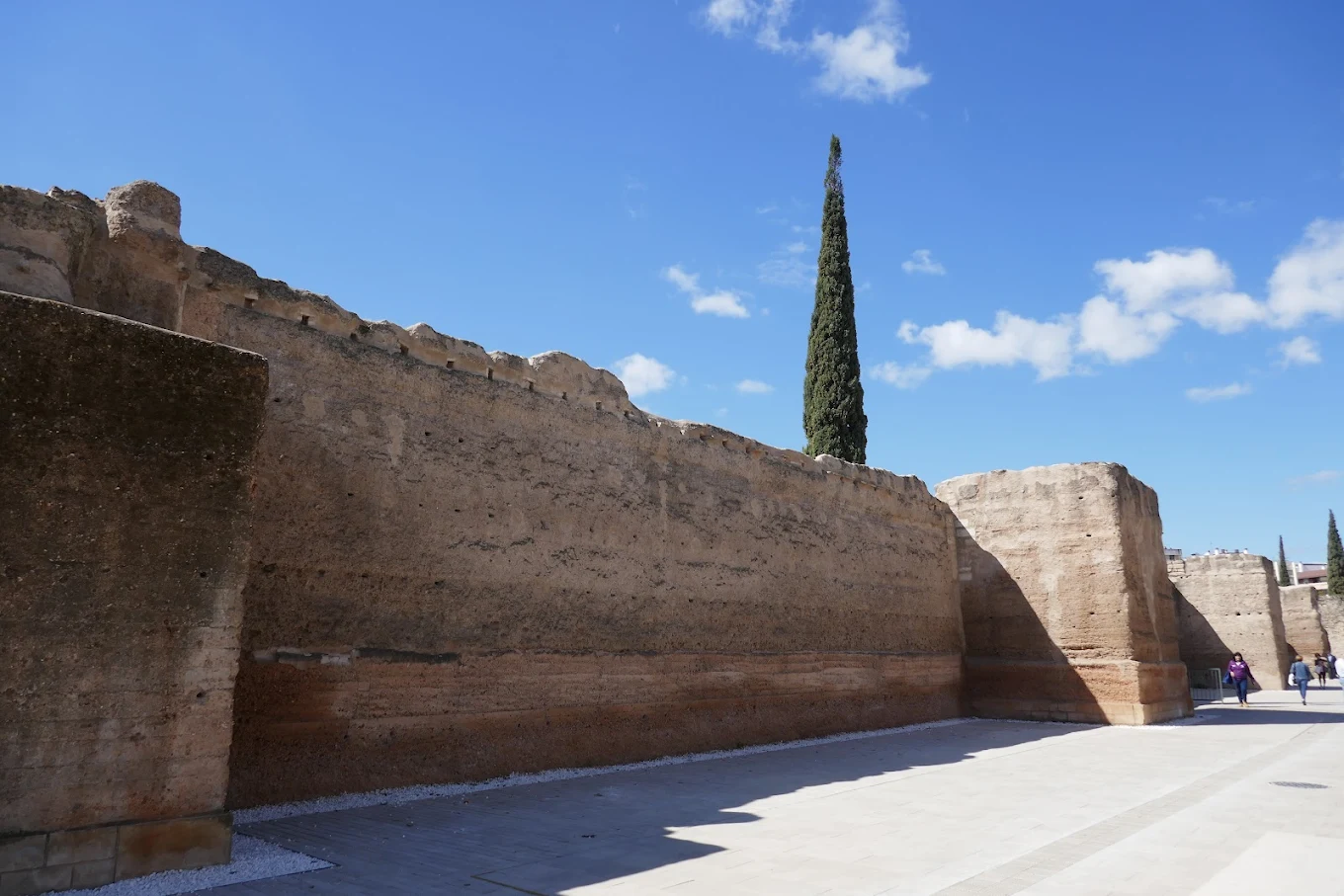
The Marrubial Wall is one of the most extensive surviving sections of Córdoba’s Islamic defensive walls, located in the eastern district of the city known as…
The Marrubial Wall is one of the most extensive surviving sections of Córdoba’s Islamic defensive walls, located in the eastern district of the city known as the Axerquía. Originally built during the Umayyad Caliphate in the 9th century, the wall was later expanded and reinforced under the Almohads in the 12th century. It protected the populous suburbs that had grown outside the original medina, reflecting Córdoba’s transformation into one of the largest and most prosperous cities in the medieval world. Constructed of ashlar stone and tapial (rammed earth), the Marrubial Wall originally stretched for over a kilometre and was fortified with towers and gates. Its design followed the military architecture of al-Andalus, combining strength with functionality to guard the city’s eastern approaches. After the Christian conquest in 1236, the wall continued in use for centuries, though much of it was gradually dismantled. The surviving stretch at Marrubial remains one of the most important testimonies to Córdoba’s Islamic fortifications, offering a sense of the scale and power of the Caliphal capital at its height.